
Chapter 6: Clouds
Alison Nugent and Shintaro Russell
Learning Objectives
By the end of this chapter, you should be able to:
- Define what a “cloud” is
- Describe the importance of cloud condensation nuclei in cloud formation
- Describe the difference between cumuliform and stratiform cloud classes
- Differentiate between and identify major cloud types including cumulus, stratus, cirrus, altostratus, etc.
- In addition to identifying the cloud, you should know the general altitude (low, mid, or high), cloud class (convective or stratiform) and whether or not it is a rain cloud
- Discuss when/where/why clouds form

What is a cloud and how does it form?
A cloud is a collection of suspended particles of water droplets and/or ice crystals in the atmosphere. The cloud droplets or crystals are so small that their terminal velocity, the highest velocity possible as an object falls through a fluid, is negligible. They are falling but they fall so slowly that they appear to be suspended in the air.
Recall from Chapter 4, the Clausius-Clapeyron diagram. The line represents the vapor pressure at saturation for a given temperature. The region to the right of the line represents air that is sub-saturated, and the region to the left of the line represents air that is super-saturated. Sub-saturated air has a relative humidity below 100% and super-saturated air has a relative humidity above 100%.

Imagine a point on the right side of the line, at T=75 °C, and e0=12.5 kPa. To become saturated, the air either needs to cool with the same moisture content (move left on a constant e0 line), or increase the moisture content (move upward on a constant T line) until the air meets the saturation curve. To put this another way, we know that clouds form when the atmosphere is saturated. The list below describes the three ways air parcels can become saturated.
Clouds can form from
- Adding Moisture (or mixing with cool moist air)
- Sea smoke
- Contrails
- Cooling towers
- Exhaling
- Cooling by Removing Heat
- Radiation fog: clear nights on land
- Advection fog: air moving over cold ocean currents
- Cooling by Adiabatic Expansion
- Upward air motion
- Vortices, like wing tip vortices on aircraft, or tornados
- Supersonic flight
Saturation is typically achieved by either adding moisture until the dew point temperature is equivalent to the temperature or cooling until the temperature is lowered to the dew point temperature. In some cases, both moisturizing and cooling can happen at the same time. The mixture of two unsaturated air parcels can even cause saturation in the resulting mixture. For example, a person’s breath on a cold day or jet contrails can both form clouds because of this mixing process.
Cloud Condensation Nuclei
When air becomes saturated, excess water vapor in the atmosphere can condense to form liquid water. However, water vapor requires a surface on which to condense. The surface is provided by tiny particulates in the atmosphere known as aerosols, or more generally, cloud condensation nuclei (CCN). Aerosols are everywhere in the atmosphere. They can be composed of earth matter like dust, clay, or soot. They can also be composed of sea salt from the ocean, black carbon from fires, or sulfate from volcanic activity. They can be composed of material from plant or organism life, like sulfates and nitrates or volatile organic compounds, or even phytoplankton. Anything that is small enough to be lofted and suspended in the atmosphere has the potential to be an aerosol. An aerosol that is hygroscopic, or “water-liking”, has the potential to be a cloud condensation nuclei.
If there were no aerosols in the atmosphere, relative humidities well over 100% would be needed for clouds to form. In laboratory studies with a clean atmosphere (with no aerosols) relative humidities up to 400% have been measured. In Earth’s atmosphere, aerosols are abundant, so water vapor does not struggle to find CCN to condense onto.
Another type of aerosol that helps with the formation of cold clouds, or clouds composed of ice crystals, are called Ice Nuclei (IN). Dust is a particularly good ice nuclei. Materials with a hexagonal shape, like ice crystals, also make particularly good surfaces for ice to form on. A common one used in cloud seeding is called silver iodide, AgI. We’ll discuss this more in the following chapter on precipitation.
Cloud Naming Conventions
Once a cloud forms, how do we know what to call it? Clouds form in many environments and look different depending on those environments, and depending on whether they’re composed of liquid droplets or ice crystals. The following diagram gives a brief overview of the many cloud types, along with their common abbreviations.

Clouds can be identified based on their appearance, shape, and altitude. The two primary cloud categories are cumuliform and stratiform clouds.
By Appearance and Shape
Cumuliform clouds develop as a result of vertical motions by atmospheric instability. They are convective clouds meaning that they form in air parcels that are buoyant and are undergoing convection, which is the transfer of heat or mixing within a fluid due to warm air rising and cool air sinking. Examples of cumuliform clouds include cumulus, cumulus congestus, and cumulonimbus.
Stratiform clouds are horizontally layered clouds. They tend to spread into wide regions, and take on an appearance of a sheet or blanket. They typically form when a layer of air is brought to saturation but is thermodynamically stable, or when a convective cloud meets a stable layer and spreads out in a layered fashion. Examples of stratiform clouds include nimbostratus, stratus, altostratus, cirrostratus, and cirrus.
By Water Phase
Clouds composed of only liquid water droplets are called “warm clouds”, and typically have clearly defined edges. Low altitude clouds are usually warm clouds.
Clouds made up of only ice crystals are called “cold clouds” and typically have fuzzy looking edges. The edges look fuzzy and not well defined because it takes longer to go from the ice phase to the vapor phase as compared to warm clouds. This transition time scale results in a larger cloud to dry air transition region. High altitude clouds are always cold clouds.
Clouds composed of liquid water and ice crystals are called “mixed phase clouds”. It is difficult to distinguish by eye whether a cloud is mixed phase. Often the decision comes down to the height of the cloud, knowing that clouds that extend from the surface up high in the atmosphere likely have a mixture of both liquid droplets and ice crystals.
By Altitude
Clouds at a high altitude have the prefix “cirro” or “cirrus”. Due to the high altitude, the cirrus and cirrostratus are made out of ice crystals.
Clouds at mid-altitude have the prefix “alto”. They are usually made out of liquid droplets, but can be a mixture between liquid droplets and ice crystals.
Low level clouds don’t have a particular prefix.
By Characteristics
The prefix “nimbo” or suffix “nimbus” indicates a precipitating cloud. Nimbostratus usually have light to moderate precipitation, whereas cumulonimbus or thunderstorm clouds have heavy precipitation and sometimes even hail.
Other
The above clouds represent the primary cloud types, but many other cloud names and cloud types are used in atmospheric sciences. A few of the more common cloud names are given below.
Lenticular clouds are stationary lens-shaped clouds with a smooth appearance that usually forms over the summit of a mountain or on the lee wave crest. They are also referred to as lee-wave clouds or mountain-wave clouds.
Mammatus clouds are formed from downward convection, typically in the anvil portion of a cumulonimbus. They have a distinctive look that makes them easy to spot, especially at sunset. They are made up of hanging pouches that look a little bit like udders.
Fog
A cloud that forms at or near the ground is called fog. The main types of fog are upslope, radiation, advection, precipitation or frontal, and steam fog.
Upslope, radiation, and advection fogs develop due to cooling. Upslope fog develops as stable, moist air rises over topography like a hill or mountain. Radiation fog occurs over land as radiational cooling lowers the air temperature to its dew point temperature. Radiation fog usually occurs during calm, clear nights. Advection fog forms as warm, moist air flows over a colder surface and the air cools to its dew point temperature.
Frontal and steam fogs are formed by the addition of water vapor. Frontal fog develops when warm raindrops evaporate in a colder airmass. Steam fog or sea smoke forms as cold air moves over warmer water.
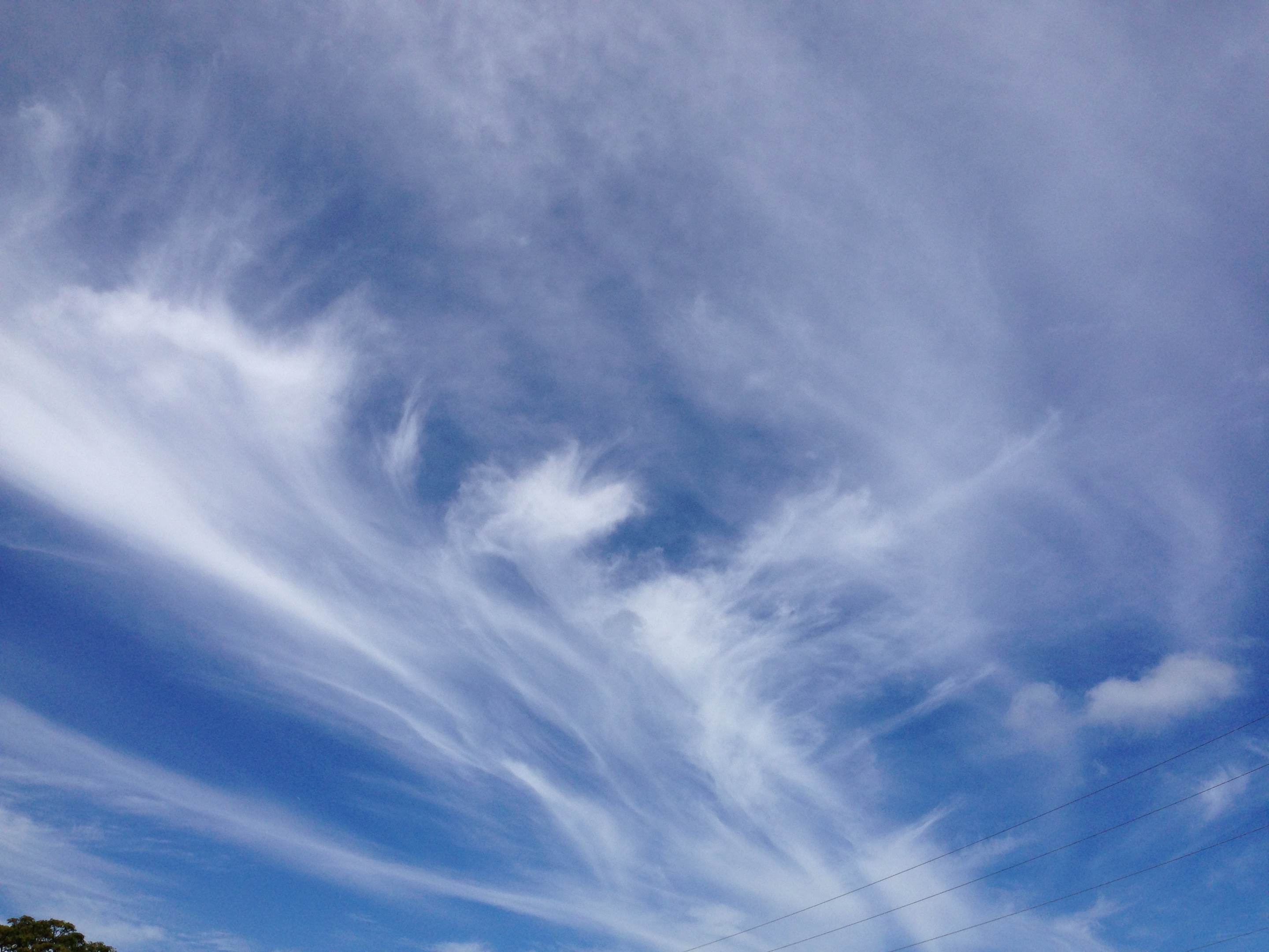
Cloud Identification Examples
The image gallery below contains many different clouds types. The clouds are labelled and described in their figure captions.


A link to an entire cloud gallery put together by Shintaro Russell is included here. All of the photos were taken here in Hawaii, and so many cloud types are represented! Enjoy!
Chapter 6: Questions to Consider
- What relationship is shown in the Clausius-Clapeyron diagram?
- Why are CCN important?
- What is the difference between cumuliform and stratiform clouds?
- Drag and drop the cloud type to its correct position in the diagram below:
Selected Practice Question Answers: